
Health and nutrition access
Distance to health posts, anganwadi enrolment, and whether households hold health scheme cards, recorded without collecting medical details.
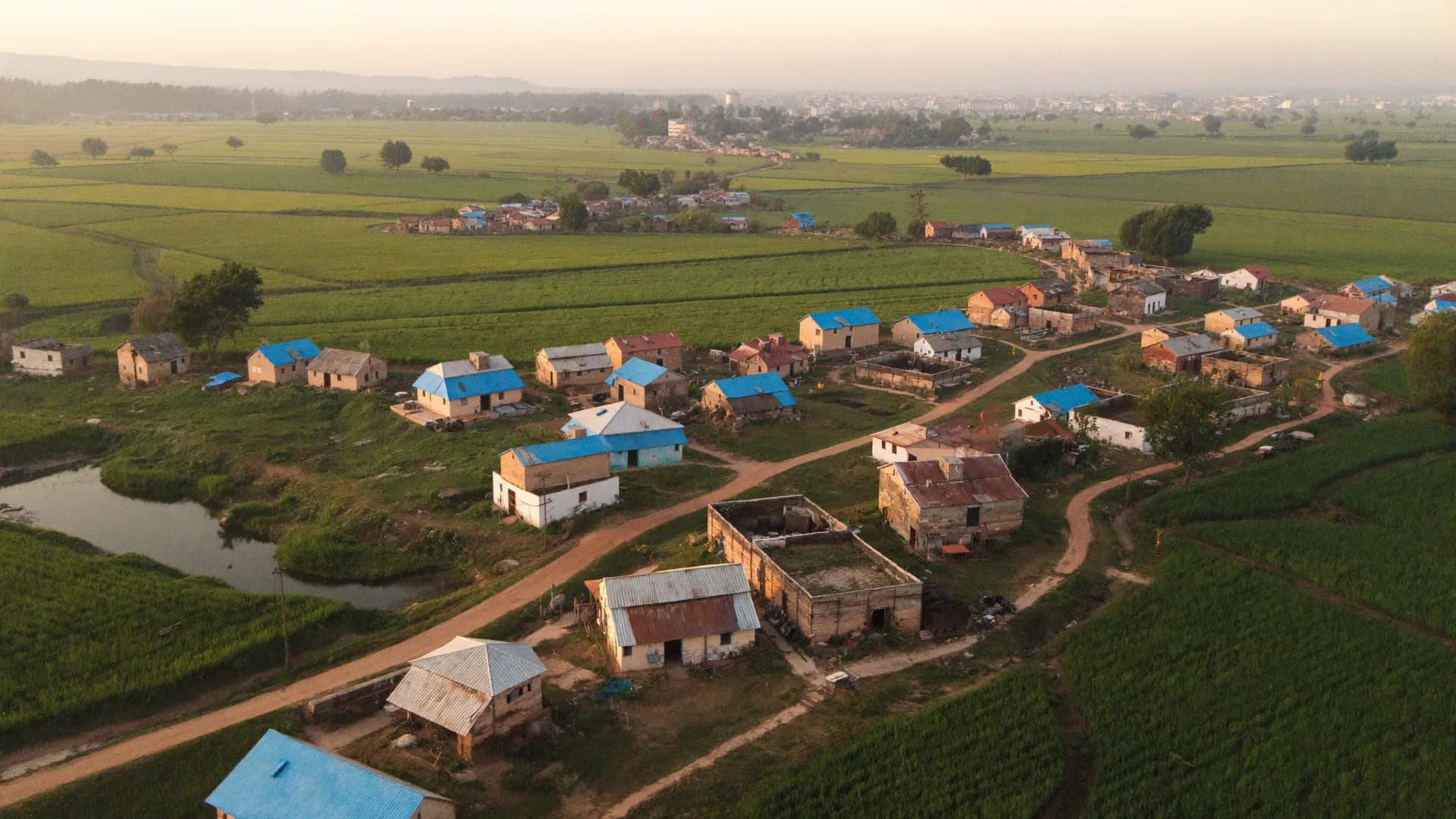
Hutment-level records that hold up when eligibility is contested
A biometric survey of slum dwellers decides who is counted for rehabilitation, housing and services, so every record will eventually be questioned. Bharat Survey supports slum rehabilitation authorities, municipal corporations and urban development departments with door-to-door hutment surveys: a unique number painted and recorded for each structure, GPS and photo evidence, socio-economic household schedules, and biometric capture through certified device partners where the terms of reference require it.
Slum surveys are rarely neutral exercises for the people being surveyed. The record often decides eligibility for a rehabilitation tenement, a housing subsidy or protection from eviction. That means families who were absent on survey day, tenants versus structure owners, upper-floor occupants and newly arrived households all become disputes later. Paper registers with a surveyor's signature do not survive that scrutiny well.
The fix is not more pages in the register. It is evidence attached to each structure at the moment of the visit: where the enumerator stood, when, what the structure looked like, who answered, and whether the household was re-visited if nobody was home. Our slum survey services are built around that evidence trail.
The order matters. Numbering and mapping come before household interviews, so no structure is surveyed twice or missed.
Hello, I am Ram Kumar. This survey is run by Sample Organisation. Purpose: to learn about amenities in your area. It is voluntary, and you can say no at any time.
Hello, I am Ram Kumar. This survey is run by Sample Organisation. Purpose: to learn about amenities in your area. It is voluntary, and you can say no at any time.
A list without a map cannot resolve a boundary dispute. A map without household data cannot plan rehabilitation. The two have to share one ID.
Every structure is a point or polygon on the geo-referenced base map, carrying the same number as the household record. Planners can filter by tenure, floor, family size or service access and see where those households sit.
We work on base maps provided by the authority or its GIS partner and do not claim to produce survey-grade cadastral maps ourselves.
Ward officers see structures numbered, households surveyed, households absent and re-visits pending, pocket by pocket, every day that field teams sync.
The slum-free city plan of action approach, introduced under the Rajiv Awas Yojana guidelines, asked cities to survey every slum, build a slum MIS linked to GIS maps, and then choose in-situ upgrading, redevelopment or relocation pocket by pocket. The same data structure still suits current housing and rehabilitation planning, including PMAY-Urban 2.0 demand assessment.
Tenure status, land ownership of the pocket, hazard exposure, existing infrastructure, household size and income bands. Collect these consistently across all pockets and the plan can compare them; collect them differently per ward and it cannot.
The same visit can collect what social departments need, if it is planned at the start.
Household, property and scheme surveys for departments and ULBs.
Learn moreGovernment survey services in Hindi.
Learn moreHow survey services are usually procured.
Learn moreWhat empanelment processes ask for.
Learn moreIndependent evaluation of housing and urban schemes.
Learn moreStraight answers to the questions people ask most about this topic.
It is a door-to-door survey of every structure in a notified slum that records household details and captures a biometric identifier, such as fingerprints or a photograph, so eligibility for rehabilitation can later be matched to the right person. Biometric capture is done on certified devices through a licensed partner.
It depends on the number of structures, density and how many households are absent. Numbering and mapping usually take the first one to two weeks, household schedules the longest share, and verification plus draft list display follow. We give a pocket-wise timeline in the proposal.
The structure is still numbered and photographed. The household goes into a re-visit queue with attempts at different times of day, and each attempt is logged with GPS and time, so the authority can see the effort made.
The commissioning authority. Data residency, retention and access rules are stated in writing in each proposal, and raw data plus codebooks are handed over at the end of the assignment.
Share the number of pockets, approximate structures and the schedule format. We will propose a numbering scheme, timeline and quotation.