
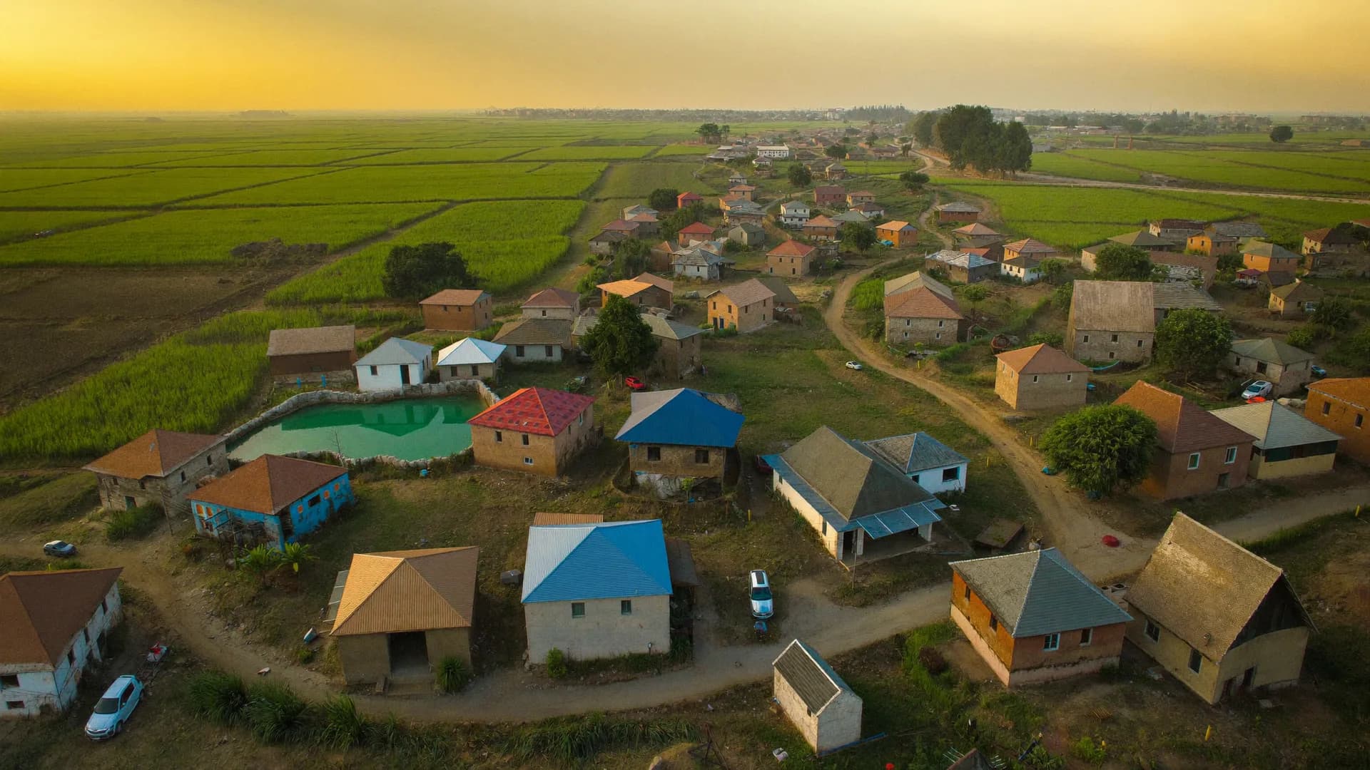
Ground verification around the drone survey, not the drone flight itself
If you are searching for a SVAMITVA drone survey agency, one point first: under the scheme, drone mapping of village abadi areas is carried out by the Survey of India with state revenue and panchayati raj departments. Bharat Survey does not fly SVAMITVA drones. We support the ground side that decides whether property cards are accurate and used: owner and occupant verification, marking and objection records, and follow-up household surveys on how property cards are being used.
- Owner and occupant ground verification
- Objection and dispute logging with GPS
- Property card distribution checks
- Impact surveys on credit and tax use
SVAMITVA — Survey of Villages Abadi and Mapping with Improvised Technology in Village Areas — is a Central Sector Scheme of the Ministry of Panchayati Raj, launched on National Panchayati Raj Day, 24 April 2020. It maps inhabited rural areas with drones so that households can receive a legal record of rights for their homes, often for the first time.
The Survey of India produces the high-resolution maps. State revenue and panchayati raj departments handle ground marking of properties, inquiry, objections and issue of property cards under state law. According to a June 2026 update, drone flights had covered most of the targeted villages and crores of property cards had been prepared, so much of the remaining work is on the ground: corrections, disputes, distribution and actual use of the cards.
Scheme roles
- Ministry of Panchayati Raj: nodal ministry
- Survey of India: drone mapping
- State revenue department: record of rights
- Gram panchayat: marking and awareness
- Support agencies: field verification and surveys
The scheme spans lakhs of villages in many states, each with its own land revenue law, language and card format. A ground verification tool has to carry state-specific forms and village codes offline, into habitations where network is patchy.
Our offline Android app loads village lists by Local Government Directory code, runs the state's verification form in its language, and attaches GPS, photos and timestamps to each property visit.
- LGD-coded village lists
- State-specific forms
- Works offline, syncs later
- Photo and GPS on each property visit
Four field tasks where structured data prevents errors from becoming permanent records.
Owner and occupant verification
Field staff visit each marked property with the draft map extract and record who owns and who occupies it, with any disagreement noted on the spot.
- Draft map parcel ID
- Owner and occupant details
- Disagreement flag
- Comes regularly
- Comes sometimes
- Rarely / never
- Don't know
Objections logged with evidence
Boundary and ownership objections are recorded against the parcel with GPS, photos and the objector's statement, so the inquiry officer has one complete list.
- Parcel-linked objections
- Photo evidence
- Status tracking
Card delivery checks
Sample verification that property cards reached the right households and that names and areas match what owners expect.
- Delivery confirmation
- Error reporting
- Village-wise summary
Impact of property cards
Household surveys on whether cards are used for bank loans, property tax, sale or inheritance, and what barriers remain.
- Credit access
- Property tax assessment
- Dispute reduction
Why the ground matters
Property cards feed into the wider land records ecosystem that states run under the Digital India Land Records Modernization Programme. Several states use NIC's Bhunaksha for cadastral maps; Bhunaksha resurvey software and similar state systems are government platforms, not ours, and we do not replace or integrate into them without the state's instruction.
How our data fits
Verification records export with LGD village codes and the parcel identifiers used in the draft maps, so the state's own team can reconcile them into its record of rights system. We keep a clean separation: our tool collects field evidence; the official record stays in the official system.
| Task | Responsible under the scheme | Where we can help |
|---|---|---|
| Drone flights and orthophoto maps | Survey of India | Not offered |
| Ground marking of properties | State revenue / panchayat staff | Field staff support with offline forms, on request |
| Inquiry and objection hearing | State revenue officials | Objection logging and evidence records |
| Property card issue | State government | Delivery verification surveys |
| Measuring use and impact | Ministry, states, evaluators | Household impact surveys |
Not the right fit if
- Drone flights or orthophoto production
- Issuing record of rights or property cards
- Replacing Bhunaksha or state land record software
- Legal survey measurements as a licensed surveyor
A good fit if
- Owner and occupant ground verification
- Objection registers with GPS and photo evidence
- Card distribution verification
- Impact surveys on credit, tax and disputes
Government solutions
Surveys and software for departments.
Learn moreसरकारी सर्वे (हिंदी)
Government survey services in Hindi.
Learn moreThird party evaluation
Independent evaluation of scheme outcomes.
Learn moreGeM procurement
How field survey services are procured.
Learn moreEmpanelment
What empanelment processes require.
Learn moreStraight answers to the questions people ask most about this topic.
Who conducts the drone survey under SVAMITVA?
The Survey of India conducts drone mapping of village abadi areas, working with state revenue and panchayati raj departments. Private field agencies can support ground verification, objection records or impact surveys when a state engages them.
What is a SVAMITVA property card?
It is a record of rights for a rural residential property in an abadi area, prepared by the state after drone mapping, ground verification and inquiry. Names and formats differ by state. It can support property tax assessment, loans and dispute resolution.
Can your app be used by state revenue staff?
Yes. Forms can mirror the state's verification format in the local language, village lists load by LGD code, and records include GPS, photos and timestamps. The app works offline in villages with poor network.
How do you measure the impact of property cards?
Through household surveys in villages where cards have been issued, compared with villages still waiting, asking about loans taken against property, tax assessment, sale, inheritance and disputes.
Tell us the district, number of villages and the field task. We will propose a setup and quotation.