
Passenger satisfaction surveys
OperationsWaiting time, crowding, safety, cleanliness, information and fare perception, by route or line and time band, repeated so improvements can be tracked.
Passengers on the platform, households along the alignment
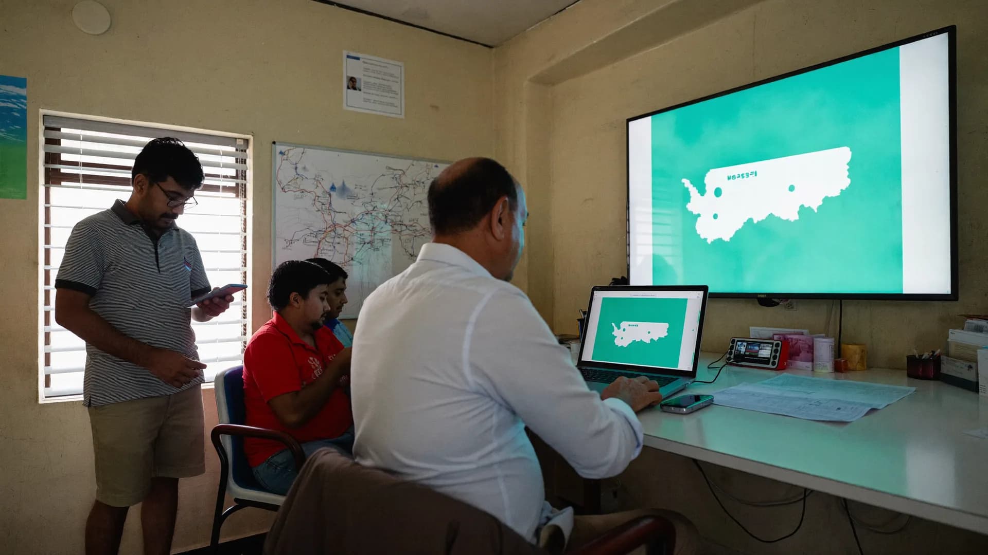
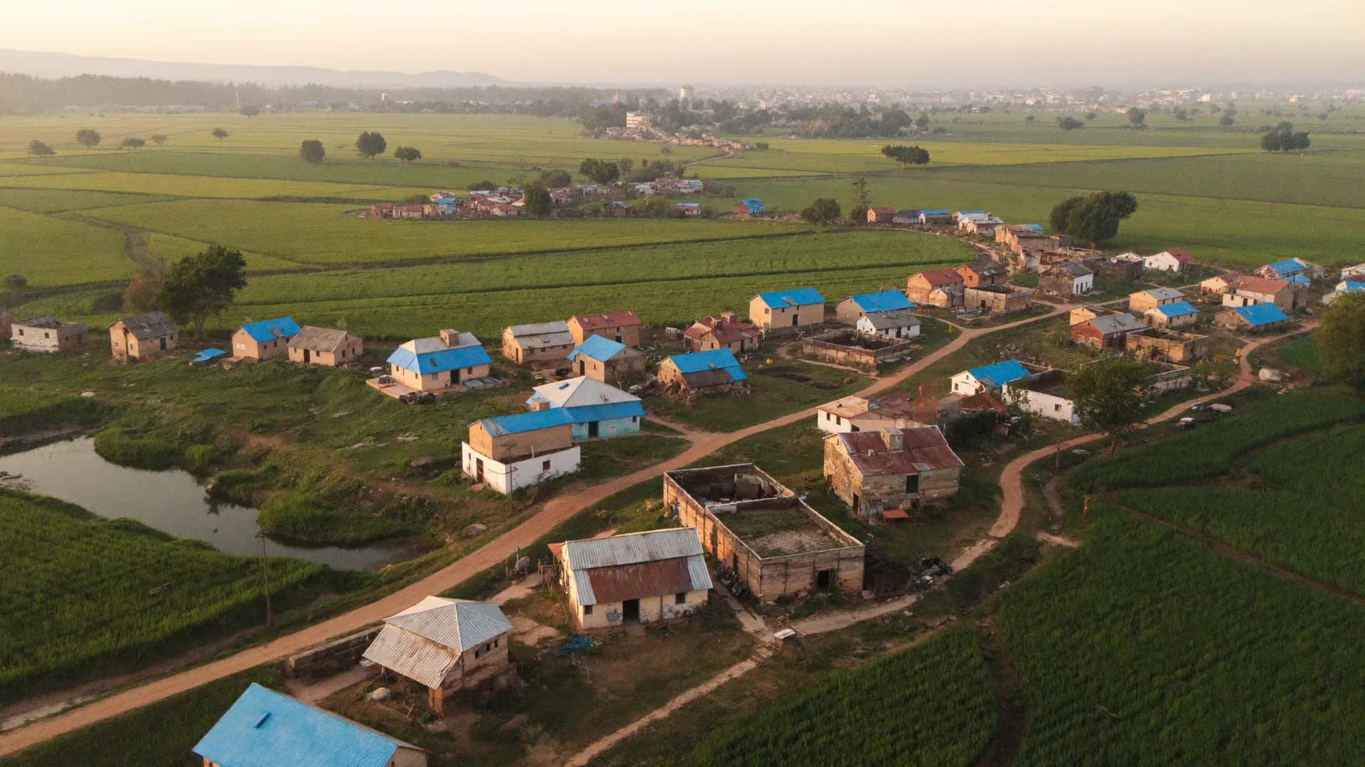
Bharat Survey is a survey agency for public transport and infrastructure corporations: city bus undertakings, metro rail companies, road and highway bodies, and utilities building across towns and villages. We run on-board and station passenger surveys, household travel surveys for mobility plans, and censuses of families affected by land acquisition, with every interview geo-tagged so planners and auditors can see exactly where data came from.
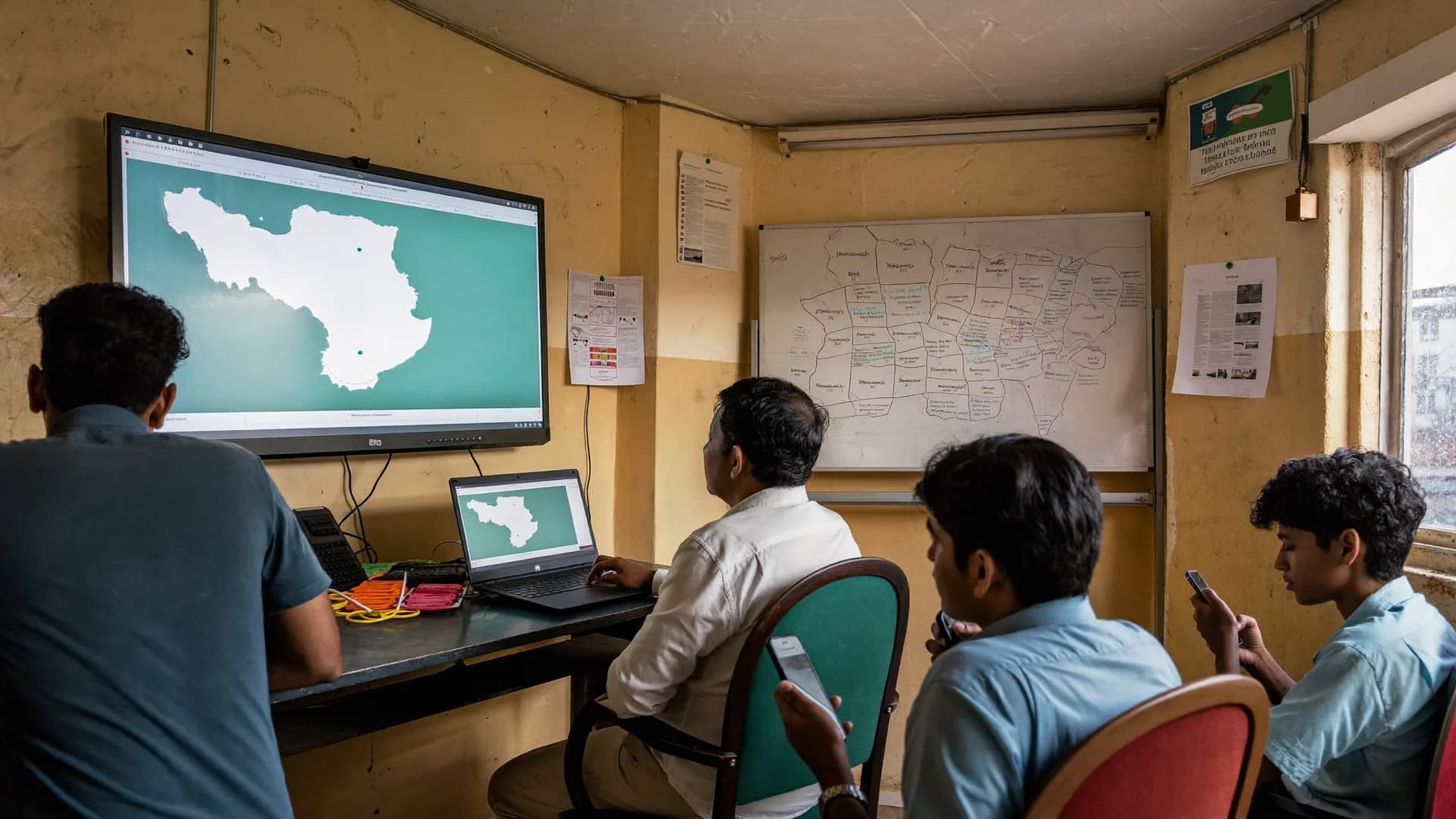
Smart cards record who tapped in. They cannot tell a planner why a commuter still takes a shared auto for the last two kilometres, or what a family losing its shop along a new corridor will need. That takes interviews.
| Stage | Survey | Who uses it |
|---|---|---|
| Feasibility and DPR | Household travel and OD surveys | Transport planners and DPR consultants |
| Land acquisition | Census of affected families and assets | SIA unit and resettlement officers |
| Construction | Grievance and disruption surveys | Project management and contractors |
| Operations | Passenger satisfaction waves | Operations and customer service teams |
The Ministry of Housing and Urban Affairs has published service level benchmarks for urban transport to help cities and operators measure performance consistently, and the National Urban Transport Policy, 2006 frames mobility planning around moving people rather than vehicles. Passenger and household surveys provide several of the inputs such benchmarking and planning need.
The Right to Fair Compensation and Transparency in Land Acquisition, Rehabilitation and Resettlement Act, 2013 requires social impact assessment for most acquisitions and sets rehabilitation entitlements. A household and asset census with photos and GPS gives the SIA team and resettlement officers a record they can verify during grievance hearings. We collect the data; entitlement decisions stay with the competent authority.
Corporation staff and consultants can run surveys on the same offline Android app, with area assignments by ward, village or chainage-based zones set up as geography, and supervisors reviewing records as they sync.
Straight answers to the questions people ask most about this topic.
Yes, with operator permission. Interviewers board at agreed stops, interview a systematic sample of passengers between stations, and record the route, direction and time band. Interviews are short, and records sync when devices reach network.
We collect household and intercept data with coded origins and destinations and can deliver it in the zone system your planning consultant uses. Demand modelling and forecasting stay with your consultant.
Every household and structure in the notified area is covered, not a sample, with photos, GPS and a receipt of the survey given where the project allows. Absent households are revisited and listed, so no family is dropped because they were away on survey day.
The commissioning corporation. We hand over complete data, photos and documentation, and keep our copies for later export until you instruct us to delete them.
Share the project stage, geography and data your consultants need. We will propose a survey design.