
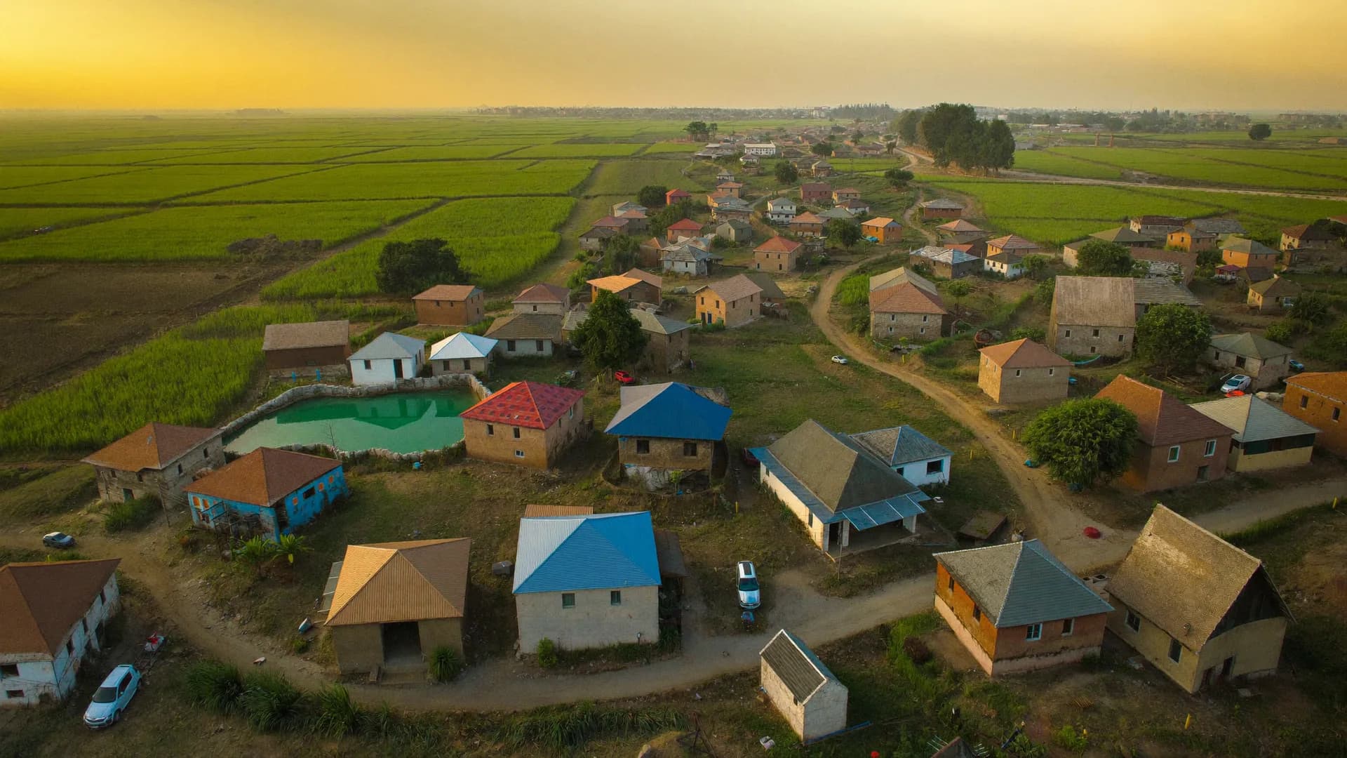
The household layer your climate, land-use and pollution data is missing
Bharat Survey is a survey agency for environmental and climate research institutes, university climate centres and policy research groups. Your models and remote sensing describe exposure: heat, rainfall, air quality, land cover. We collect what people experience and do about it, with every interview geo-referenced and time-stamped, so survey records can be joined to your spatial and temporal datasets without guesswork.
- Geo-referenced household and farm surveys
- Repeat rounds timed to seasons and events
- Location handling that protects respondent privacy
- Data documented for linkage and publication
Climate research increasingly needs behaviour and welfare data at the same spatial resolution as the physical data. These are the study types institutes bring to us.
Heat stress, work and health
Adaptation and crop choices
Household energy transitions
Pollution exposure and perception
Linkage fails most often at the design stage, when the sample was never built to match the physical data's resolution.
- 01
Sample aligned to your spatial units
Villages, wards or grid cells are selected against your exposure data, so contrasts you want to study actually exist in the sample.DesignRam Kumar · shift on26.8467 N · 80.9462 E · ±12 m14Received12Accepted1Review1Outside - 02
Rounds timed to seasons or events
Fieldwork windows are fixed to the monsoon, a heat season or a post-event period, and the calendar is documented for each record.Scheduling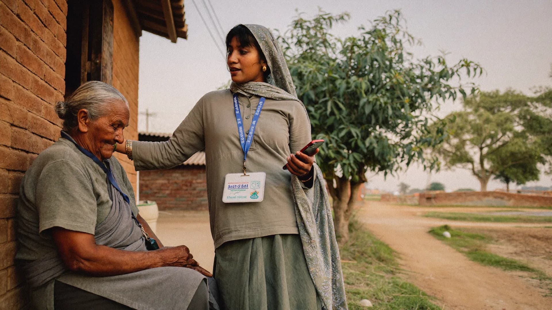
- 03
Location captured and checked
GPS, accuracy and time are recorded for each interview. Records far from the assigned area are reviewed before they reach your file.FieldworkLocation evidenceSurvey #BS-0412- In areaInside approx. boundary
- Accuracy±12 m
- Time09:42 · fresh fix
- Mock GPSNot detected
- Interview length11 min
Added to accepted count - 04
Privacy-safe handover for linkage
Precise coordinates go to named analysts under restricted access; shareable files carry area codes or displaced coordinates so respondents cannot be located.Delivery3,000Target households2,184Visits1,962Completed1,871AcceptedDaily accepted interviewsLast 12 days
- In areaInside approx. boundary
- Accuracy±12 m
- Time09:42 · fresh fix
- Mock GPSNot detected
- Interview length11 min
Our position
Full field partner
For large or multi-state rounds
- Enumerator recruitment and training
- Supervision and back-checks
- Season-timed logistics
- Field reports per round
Platform for your field team
For long-running or small studies
- Offline app for your researchers
- GPS and time on every record
- Area assignments by village or ward
- Seat-based access on quotation
Survey app for Environmental and Climate Research Institutes
Researchers and field assistants collect data offline in remote and forest areas, with GPS accuracy recorded per interview and area assignments that flag records captured outside the planned location. Data exports carry location fields for your GIS and statistical software.
- Offline in low-network terrain
- GPS accuracy per record
- Exports with location fields
Respondents are told that their location is recorded and why. Consent follows your ethics committee's approved script, and personal data handling follows the Digital Personal Data Protection Act, 2023 and its Rules. Where coordinates must be shared beyond the core team, we agree an anonymisation approach, such as area codes or random displacement, before fieldwork, so publication plans do not collide with promises made to respondents.
Not the right fit if
- Satellite, drone or sensor data collection or analysis
- Climate modelling or downscaling
- Environmental monitoring equipment installation
- Carbon accounting or verification
A good fit if
- Geo-referenced household and farm surveys
- Season- and event-timed rounds
- Privacy-safe location data for linkage
- Offline tools for research field teams
Straight answers to the questions people ask most about this topic.
How precise is the GPS on survey records?
It depends on the phone and conditions. Each record stores the reported accuracy, so you can filter or weight by it. Dense forest, deep valleys and indoor interviews reduce accuracy, and enumerators are trained to capture location outdoors near the dwelling where possible.
Can surveys be timed to a heatwave or flood?
Yes, within limits. We can keep a trained team on standby for a defined window and start when agreed triggers occur, but safety comes first: we do not send enumerators into active disaster zones or extreme heat without precautions.
How do you protect respondents when sharing coordinates?
Exact coordinates are kept in a restricted file for named analysts. Shareable datasets use area codes or displaced coordinates agreed before fieldwork, so linkage remains possible while individual households cannot be located from published data.
Do you work with international research teams?
Yes, for fieldwork in India. Contracts, data transfer and ethics approvals need to meet both the institution's requirements and Indian law, so we plan those steps with your team before fieldwork starts.
Share the spatial units, seasons and research questions. We will reply with a sampling and field timing plan.