
Stop inventory with coordinates
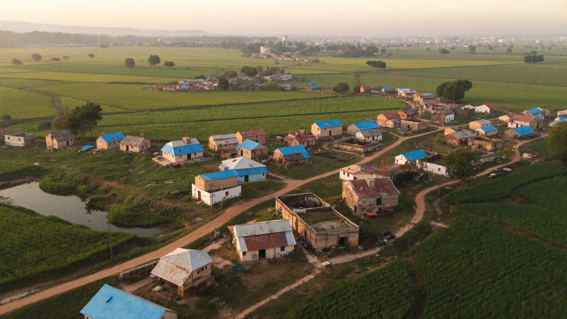
Each stop recorded with GPS, shelter condition, footpath access and photos, so the route map in the plan matches what is on the road.
Travel, ridership and parking data for city transport plans
Bharat Survey is a comprehensive mobility plan survey agency for development authorities, transport corporations and the consultants who write CMPs and DPRs. We run household travel diaries, on-board and station ridership surveys, parking inventories and pedestrian counts with trained field teams and a GPS-verified offline app, so the transport model is built on trips that were actually recorded where and when the data says.
A Comprehensive Mobility Plan follows the Ministry of Housing and Urban Affairs toolkit: understand how people travel today, model future demand, then test options. The first step is almost entirely primary survey work.
The household travel survey is the backbone. It records every trip made by household members on a typical weekday — purpose, mode, start and end points, time and cost — along with income, vehicle ownership and household size. Those trips, expanded to the city population by traffic analysis zone, calibrate the travel demand model. If the sample under-covers informal settlements or women's trips, the model inherits that bias for twenty years of planning.
We plan the household travel survey India cities need by zone: a sampling fraction set with the consultant, households selected at random within each zone, and interviews spread across weekdays. Trip ends are captured as map pins with landmarks, not just locality names, which saves weeks of geocoding later.
Many studies are commissioned as one package: a CMP, a bus reform plan, a parking policy or a junction improvement programme. As a survey agency for public transport and traffic management study work, we take the survey components while the planning consultant owns the modelling and recommendations. That split keeps responsibilities clear in the contract.
Ridership surveys answer two questions: how many people use each route or station, and who they are. Pick the tab that matches your system.
A bus route survey agency should give planners route-level evidence they can act on, not just totals.
Metro ridership survey services often sit beside parking and walking studies in the same terms of reference.
On-street and off-street inventory, hourly occupancy by licence-plate sampling and duration analysis to size parking demand and pricing.
Mid-block and junction counts at intervals through the day, with footpath condition and crossing behaviour notes.
Choice experiments on fare, travel time and comfort that inform mode shift assumptions for new systems.
Repeat surveys after a new route, lane or policy to measure whether travel behaviour actually changed.
Planning firms acting as parking survey consultant in India often need extra hands for three weeks, not a permanent team. We supply supervised enumerators, the app and daily data checks, and deliver occupancy and duration tables in the format the consultant's model expects. Licence-plate data is truncated or hashed before analysis and never used to identify vehicle owners.
For public transport and traffic management study survey services, India's development authorities usually ask for raw data plus summary tables. We deliver both, with a data dictionary, zone codes and the questionnaire version used on each day.
Our pedestrian count survey services record counts by direction in 15-minute bins, with gender splits where the study asks for them. Counters log from fixed positions whose GPS points appear in the dataset, so a reviewer can confirm the junction counted is the one in the report.
Field data and its quality
Modelling and recommendations
Some departments need a third party evaluation agency for public transport and traffic management study results — for example, checking whether a bus service contract is delivering the ridership it reports. We can run independent counts and passenger surveys that do not depend on operator data.
Where a department simply needs a data collection agency for public transport and traffic management study inputs, we work under the planning consultant or directly for the authority, whichever the procurement requires.
Straight answers to the questions people ask most about this topic.
It is usually set as a sampling fraction by traffic analysis zone, agreed with the planning consultant and guided by the MoHUA CMP toolkit, with minimum interviews per zone so each zone can be expanded reliably. Smaller cities often need a higher fraction. We share the zone-wise plan before fieldwork.
Not by default. Our enumerators interview households using their own devices and record trips with map pins. Respondent-side GPS tracking raises consent and coverage issues, so we only propose it where the study design and consent process support it.
Yes. We load your traffic analysis zones and stop or station codes into the survey app so every record is tagged with the codes your model uses, which removes a large cleaning step after fieldwork.
Counter positions are fixed with GPS before the count starts, and each 15-minute entry is time-stamped. Supervisors make unannounced visits and the dataset shows position and time for every bin.
Send the survey list, city and timeline. We will return a field plan with sample sizes, team structure and data formats.