
Geo tagged survey app government departments specify
Scheme verification, asset checks and household surveys where a third party must show each visit happened in the listed village.
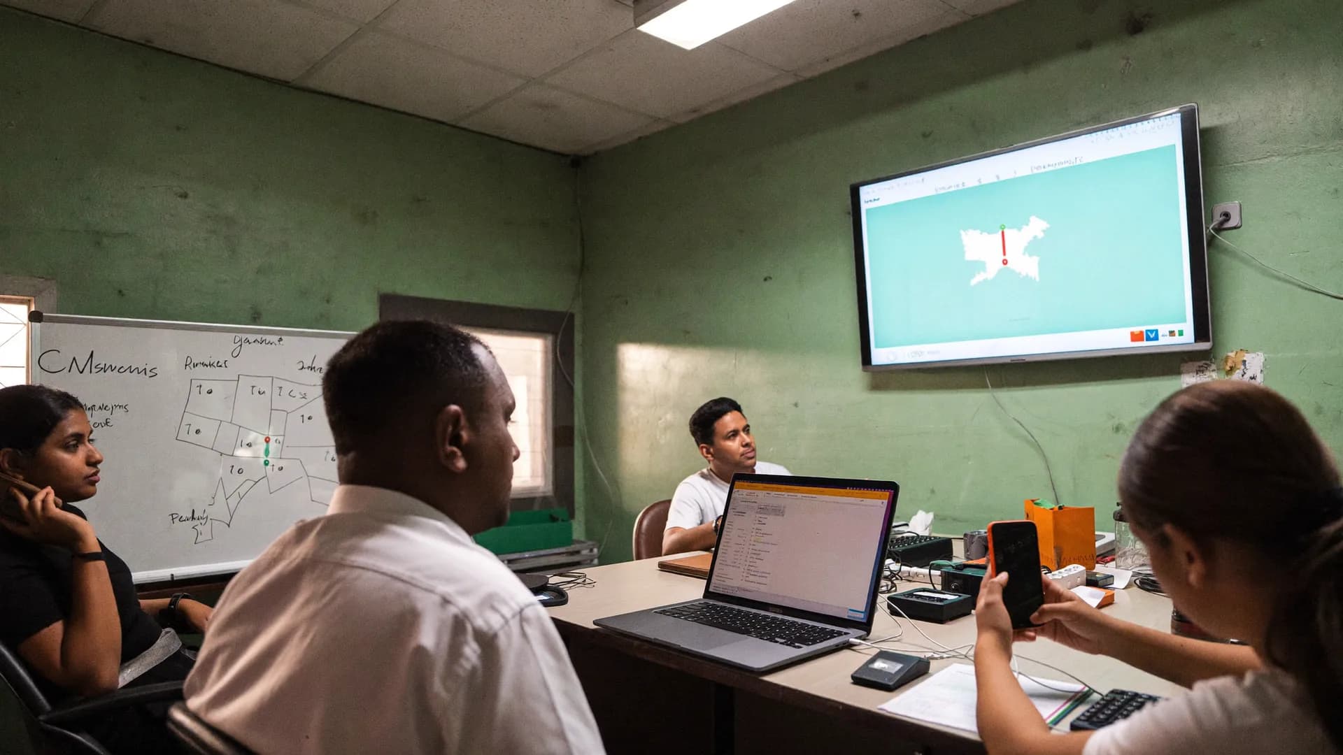
Tagging records a point. Verification decides what the point means.
Bharat Survey is a GPS verified survey app for agencies, departments, NGOs and campaigns that have to defend where their data came from. Every record captures location, accuracy, time and a mock-GPS check, then gets compared with the village, ward or booth it was assigned to. It is labelled in area, near boundary, outside, poor signal or mock, and nothing doubtful is counted as approved without a supervisor's decision.
A geo tag is a fact about the phone. A location state is a judgement about the record. These are the five judgements the app makes after sync.
When the enumerator taps to record arrival and again at submission, the app stores latitude, longitude, accuracy, the age of the fix and the mock-location flag, with device time. Interview start, end and duration are stored too. All of it exports with the record.
Photo questions attach images to the record, so each photo shares the record's location and time evidence. Photos are compressed on the phone to save data and upload on sync. Forms can make a photo required, for example on a failed checklist item or an asset check.
Point stored, no judgement
Point stored and judged
Verification is only as good as the areas it compares against. Bharat Survey organises geography by LGD codes, from state and district through block and gram panchayat to village, from urban local body to ward, and for elections from parliamentary constituency to assembly constituency and polling booth.
Villages use a centroid and radius because reliable public village polygons are not available for most of India. Districts and constituencies use open boundary polygons where they exist. Each area carries a boundary status of verified, approximate or none, and the location badge follows that status.
Location catches the wrong place. Timing catches the wrong effort. Together they find most fabricated interviews.
Some agencies record short audio snippets during interviews so quality teams can listen for real conversations. Bharat Survey does not record audio in version 1. It is a legitimate method, but it needs clear respondent consent, storage planning and a listening workflow, and we would rather ship it properly than add it as a checkbox.
The web panel shows assigned areas, synced records with their location states and, during shifts only, the live position of active enumerators on a MapLibre map. Coordinates export with every record for teams that run their own GIS analysis in QGIS or ArcGIS.
All platform capabilities.
Learn morePhoto checklists with location evidence.
Learn moreVerified in-person feedback.
Learn moreCustom workflows on the core app.
Learn moreMessaging channels and their limits.
Learn moreStraight answers to the questions people ask most about this topic.
Geo tagging stores a location with a record. GPS verification compares that location with the area the enumerator was assigned and labels the result: in area, near boundary, outside, poor signal or mock. Reviewers then look only at doubtful records instead of checking every point by hand.
They can try with mock-location apps. Android reports when a location comes from a mock provider, and the app stores that flag with the record. Such records are always visible to supervisors and cannot count as approved without a decision.
No. Location is captured when the enumerator taps to record arrival or submit, and shared live with supervisors only between Shift Start and Shift End, with a visible notification. Nothing runs in the background outside a shift.
For most villages, public boundary polygons are not reliable, so the app uses the village centroid plus a radius and labels results as approximate. Districts and constituencies use open polygons. The badge never says Verified when the boundary is approximate.
Tell us the districts or constituencies and how you check fieldwork today. We will show verification on your own geography.