

Step 1
01 / 05Door number survey ULB teams start with
A door number survey for the ULB assigns or confirms a unique number to each building, often with a plate, so every later record has a stable key.
- Unique property IDs
- Street-wise sequence

Every property found, measured, photographed and linked to a ward and a map point
Bharat Survey carries out property tax survey work for municipal corporations, councils and nagar panchayats that need a complete and current property register. Field teams visit every building ward by ward, record ownership details as declared, use, floors, built-up area and occupancy, and capture photos and a GPS point on our offline app. The result is a digital property database the ULB can use to find unassessed properties and correct under-assessment.
The Fifteenth Finance Commission made grants to urban local bodies conditional on states notifying floor rates for property tax and showing consistent improvement in collections in line with state GSDP growth. A complete property register is the first step to meeting that.
Property tax survey work for residential and commercial buildings has different traps. Residential surveys miss added floors, subdivided houses and rented portions. Commercial surveys miss changes of use: a house converted to a clinic, a godown or a coaching centre usually pays residential tax for years. Our forms ask about each floor separately and record use as observed, with photos of the frontage and signboards.
We record what enumerators see and what occupants declare. Assessment, tax calculation and notices remain with the ULB under its municipal act and rules.
Many ULBs own shopping complexes whose tenancy records are outdated. A shopping complex rent management survey lists every shop, current occupant, use, and rent agreement status as shown, so the revenue section can reconcile it with its ledger.
A ward wise property survey agency has to balance speed with completeness. This is how we sequence it.
A door number survey for the ULB assigns or confirms a unique number to each building, often with a plate, so every later record has a stable key.
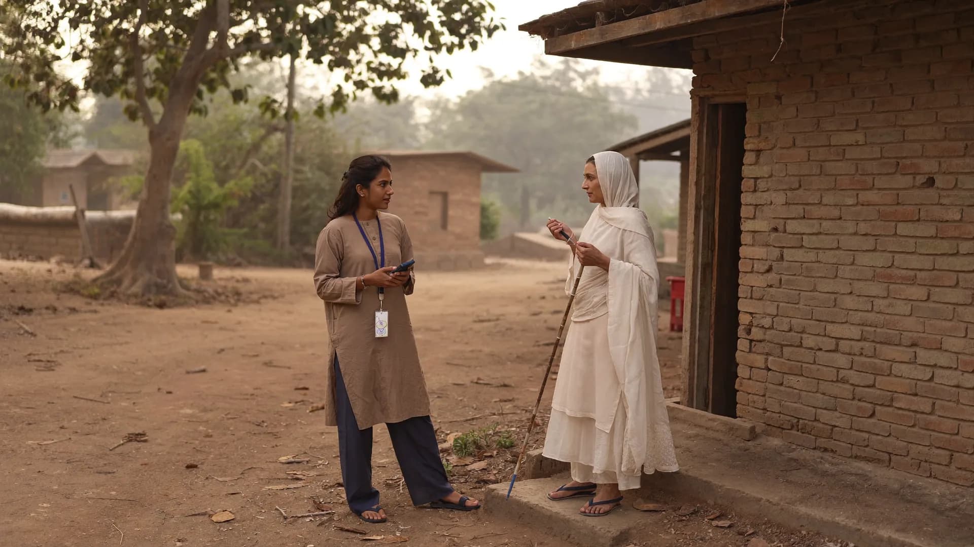
Enumerators visit each building, interview occupants and record use, floors and area, with photos. Locked properties are marked for revisit.

Each record gets a GPS point and is placed on the ward's base map, giving a GIS GPS based mapping survey of households, buildings and commercial plots.
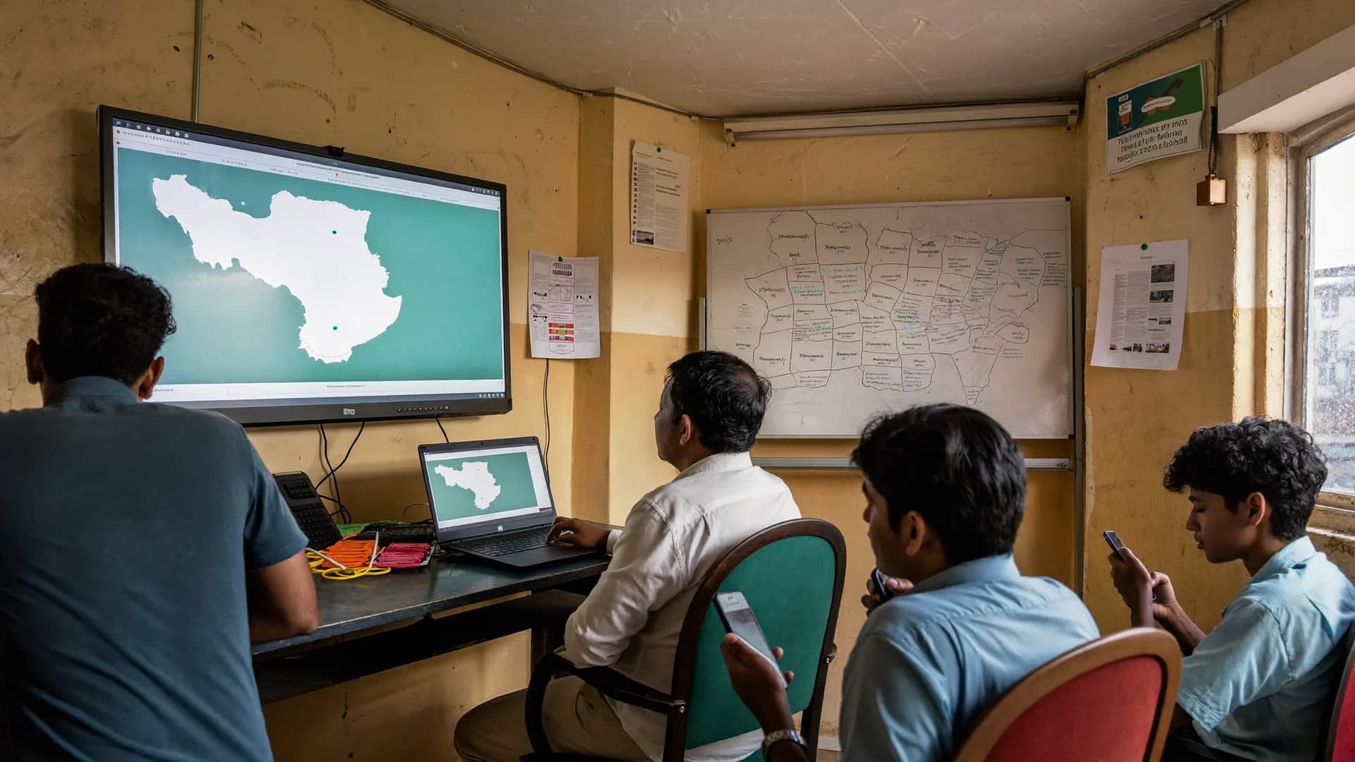
Survey records are matched with the existing register to separate matched, mismatched and unassessed properties.
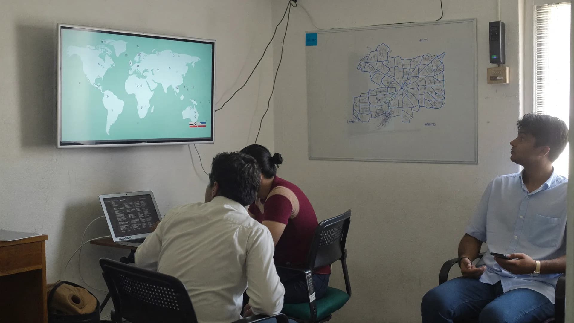
Clean data, photos and GIS layers are delivered in the format the ULB's tax software expects.
Our property survey app for municipal corporation staff and our own enumerators works offline, enforces required fields and photo rules, and tags each record with ward and GPS. Municipal staff can also keep using it after the survey for new constructions and mutations.
The database shows each property's status against the old register: matched, area or use mismatch, or not found in the register. Revenue staff can work through lists ward by ward.
An unassessed properties survey targets revenue leakage directly. The usual sources are new colonies added to municipal limits, extra floors, commercial use in residential assessments, and vacant plots that were built on. We report each category separately so the ULB can prioritise.
Findings are evidence, not assessments. Occupants have the right to be heard under municipal law, and our photos, timestamps and GPS points are there to support that process fairly.
An encroachment and property deviation survey records visible encroachments on roads, drains and public land, and obvious deviations such as extra floors, with photos and GPS. Legal determination of deviation against sanctioned plans is done by the ULB's building department.
Some state municipal laws provide for periodic revision of property assessments, including area-based systems revised at fixed intervals. For a quadrennial area based assessment, a municipality needs up-to-date area, use and construction data for every property. Our survey provides those inputs; the rates and revision rules are set by the state and ULB.
Tenders increasingly ask for aerial or vehicle imagery alongside the field survey. Here is our honest position.
Surveys for departments and ULBs.
Learn moreHow ULBs procure survey services.
Learn moreEmpanelment processes explained.
Learn moreIndependent scheme evaluation.
Learn moreGovernment surveys in Hindi.
Learn moreStraight answers to the questions people ask most about this topic.
It is a door-to-door survey of every property where each record is linked to a map location, usually a GPS point or a building footprint, along with use, floors, area and photos. The ULB can then view properties on a map, find gaps and plan collection ward by ward.
No. We collect and organise property data. Assessment, rates, notices and hearings are carried out by the ULB under its municipal act and rules.
Locked properties are recorded with photo and GPS on the first visit and revisited at different times. Properties still inaccessible are listed separately so the ULB can follow up.
Yes, if the imagery comes from the ULB or a licensed partner. We don't operate drones ourselves, but our field data can be attached to building footprints extracted from such imagery.

Share the number of wards, estimated properties and existing register format. We will propose a schedule and data model.