
Municipal corporations
Large ward counts, multiple zones and an existing ERP or GIS that new data must fit into.
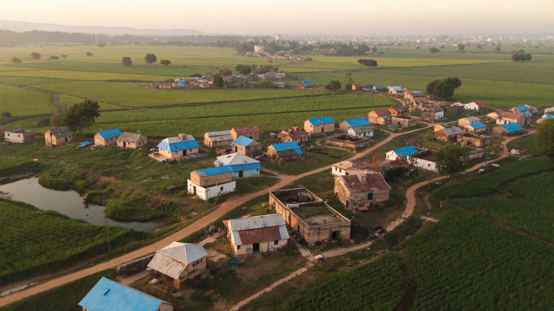
Door-to-door, asset and scheme surveys for municipal corporations and councils
Bharat Survey provides municipal survey services to corporations, municipal councils, nagar panchayats and development authorities. Our field teams map assets, enumerate street vendors, survey households for water and sewer schemes and digitise records, using an offline Android app that ties every entry to a GPS point, a ward code and a timestamp. Commissioners get ward-wise progress daily and a dataset that can move straight into the ULB's systems.
Most ULB survey requirements come with thin engineering staff, many wards and a hard deadline linked to a grant or a scheme milestone.
A municipal asset survey and digitization project fails most often at the handover, not in the field. We plan the output format on day one.
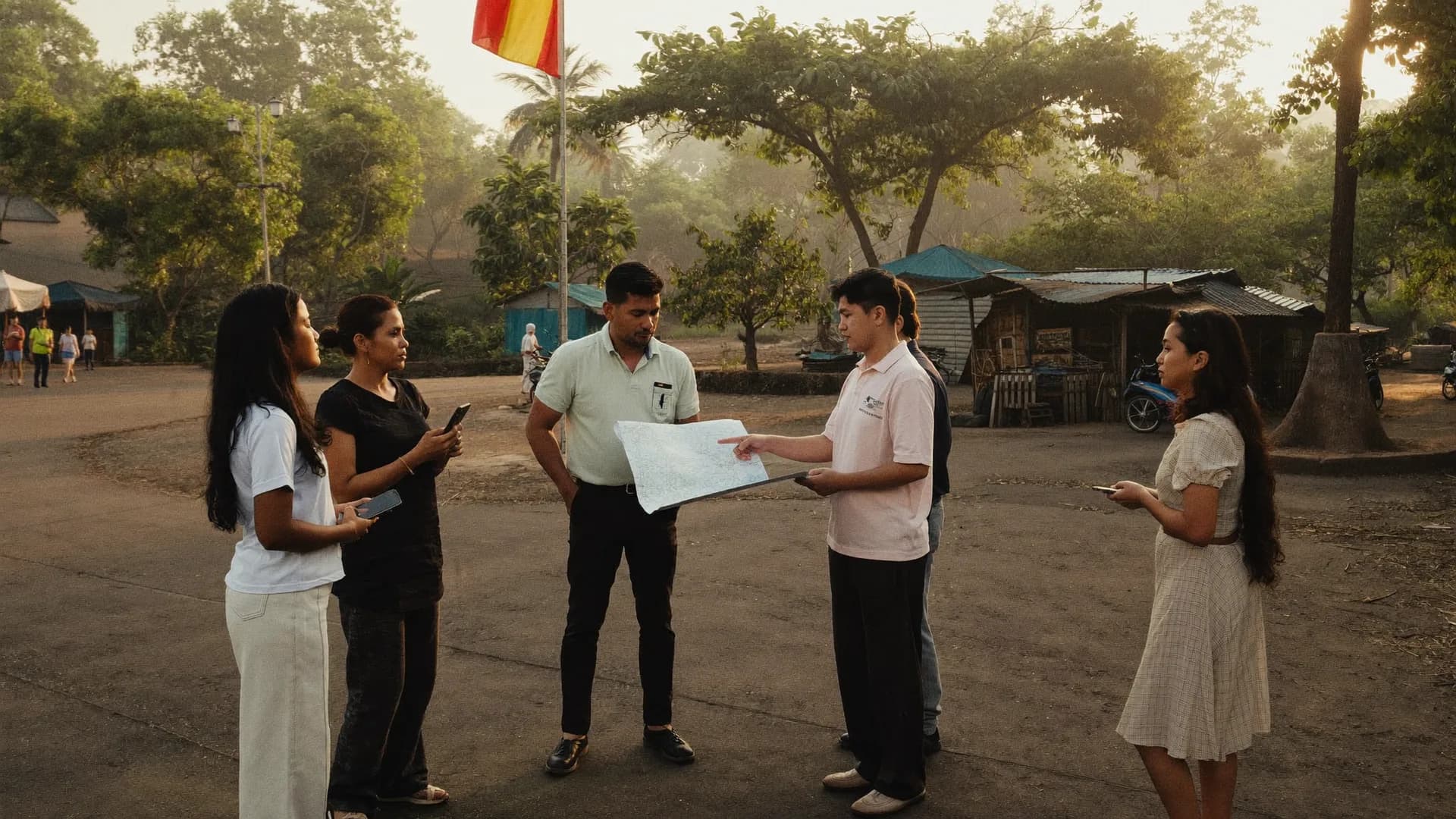
We collect ward maps, existing registers and the category list — streetlights, toilets, parks, drains, buildings — and load them into the app with codes.
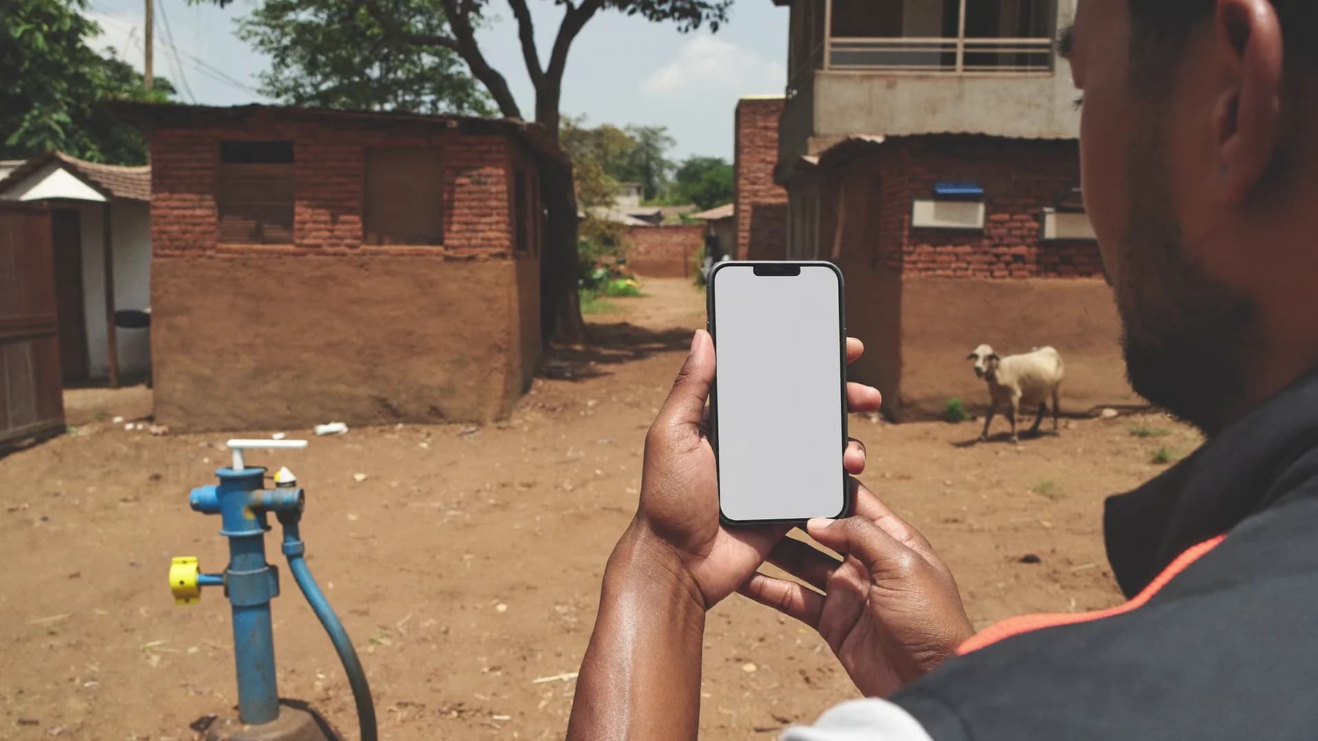
A pilot ward tests forms, photo rules and timing per asset, and sets realistic daily targets.
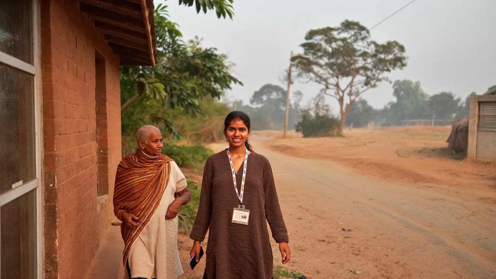
Teams move ward by ward. Each asset gets a GPS point, photos and condition, and the dashboard shows coverage against the expected count.
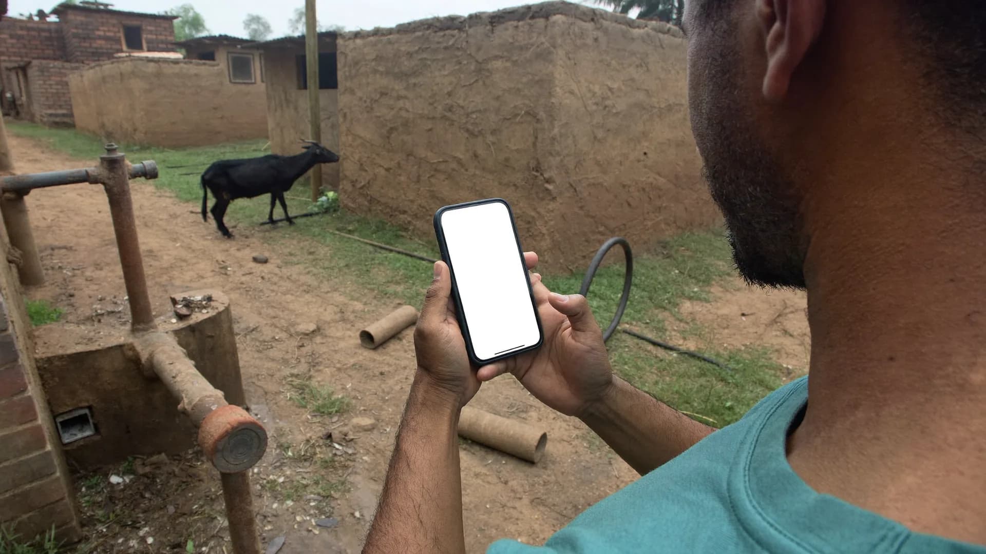
Supervisors revisit a share of assets; mismatches go back to the enumerator before acceptance.
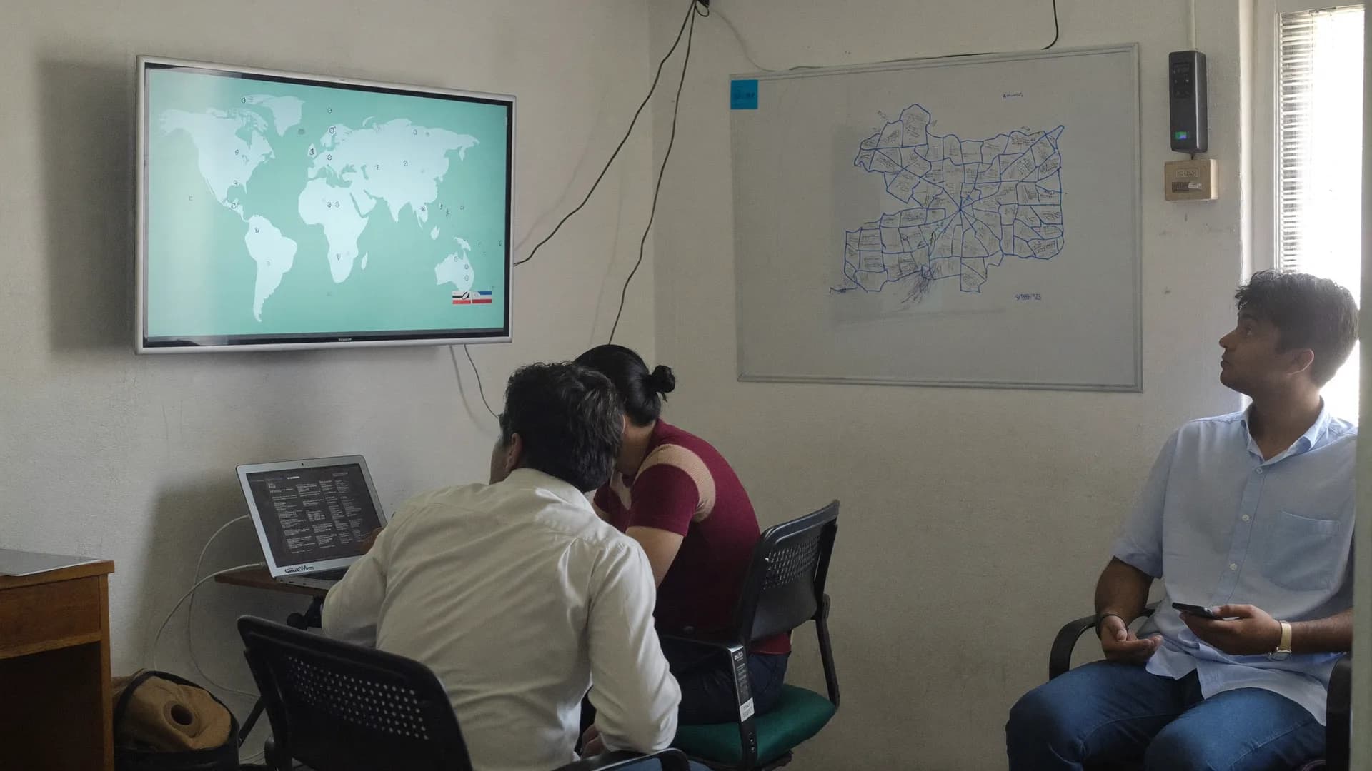
Final data is delivered as spreadsheets, GIS layers and photos with a data dictionary, ready for the ULB's software vendor.
Many tenders bundle survey data collection, digitization, GIS based asset mapping and software implementation into one scope. We cover the field survey, digitisation and the survey software with our own app and web panel. Where a full municipal ERP or enterprise GIS is required, we work beside the ULB's chosen system vendor and deliver data in its import format.
For an integrated municipal management system, a survey links properties, trade licences, water connections and assets to common IDs. We design the linking keys before fieldwork so records join cleanly afterwards.
Command centre dashboards are only as good as their base layers. For smart city command centre survey data integration, we deliver geo-tagged datasets with stable IDs and update procedures, so the centre can refresh them without redoing the survey.
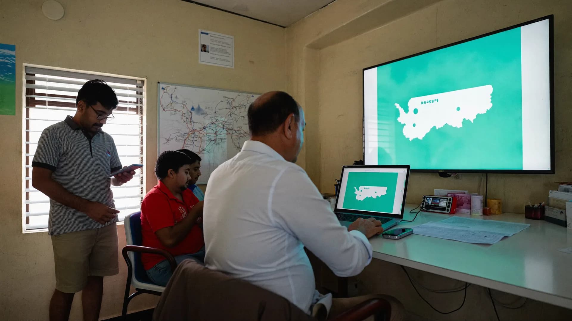
Smart city survey services usually cover citizen perception, asset baselines and area-based development planning. Survey work under AMRUT 2.0, launched in October 2021 to make cities water-secure with universal tap and sewer coverage, typically means household connection surveys, gap assessments and service-level benchmarking.
As an AMRUT survey agency we survey households for existing water and sewer connections, supply hours and willingness to connect, and map network gaps street by street. Results are delivered by ward so the ULB can prioritise works in its action plan.
Development authorities preparing master plans need land use, building use and infrastructure condition data. As a survey agency for public infrastructure and urban development planning, we collect it and leave the planning to the authority's consultant.
The Street Vendors (Protection of Livelihood and Regulation of Street Vending) Act, 2014 asks the Town Vending Committee to survey vendors and issue certificates of vending. PM SVANidhi loans, launched in June 2020, rely on those lists.
Our public infrastructure and urban development planning survey services in India include building use surveys, road and drain condition inventories and socio-economic household surveys for project areas.
Where a department wants an independent check on completed works, we act as a third party evaluation agency for public infrastructure and urban development planning outcomes, visiting a sample of sites without relying on contractor reports. Where it only needs field inputs, we serve as the data collection agency for public infrastructure and urban development planning studies led by another consultant.
| Requirement | Survey type | Main output |
|---|---|---|
| Grant or reform milestone on assets | Asset survey and digitisation | Geo-tagged asset register |
| Water or sewer DPR | Household connection survey | Ward-wise coverage gaps |
| Street vending plan | Vendor identification survey | Vendor list with photos for the TVC |
| Revenue improvement | Property tax survey | Property database with assessment fields |
| Command centre base layers | GIS data integration | Layers with stable IDs |
Household, property and scheme surveys for departments.
Learn moreHow ULBs typically procure survey services.
Learn moreWhat empanelment processes ask for and how we respond.
Learn moreIndependent evaluation of schemes and works.
Learn moreGovernment survey services in Hindi.
Learn moreStraight answers to the questions people ask most about this topic.
It depends on the number of wards, the items surveyed per ward and access. A pilot ward sets real daily output per enumerator, and we size the team from that. We share a ward-by-ward schedule with the proposal instead of a generic duration.
Yes. We ask for the import format and ID structure at the start and deliver data that fits it, including GIS layers, photos and a data dictionary.
Yes. We carry out the enumeration with photographs, locations and vending details and deliver lists to the committee. Certificates of vending are issued by the committee under the 2014 Act, not by the survey agency.
Every record carries GPS, time and photos; records outside the assigned ward or with suspicious timings are flagged, and supervisors revisit a sample before acceptance. The ULB can view progress and flags on the dashboard.
Send the scope, number of wards and deadline. We will reply with a field plan, team size and data handover format.