
Boundaries, booths and results on maps your team can print, open and share
Election maps turn a list of booths and villages into something a campaign team can plan around. Bharat Survey makes constituency maps for candidates, party units and consultants: printable assembly and parliamentary boundary maps in A3, A1 or flex sizes, village and ward boundary maps, booth location maps, interactive web maps with result layers, and raw GeoJSON or KML files for your own GIS work. Every map says where its boundaries came from and how exact they are.
- Assembly and Lok Sabha boundary maps for print
- Village, ward and booth location layers
- Interactive web maps with past results by village
- GeoJSON and KML handed over with a source note
Five kinds of map, each made for a different wall, screen or analyst.
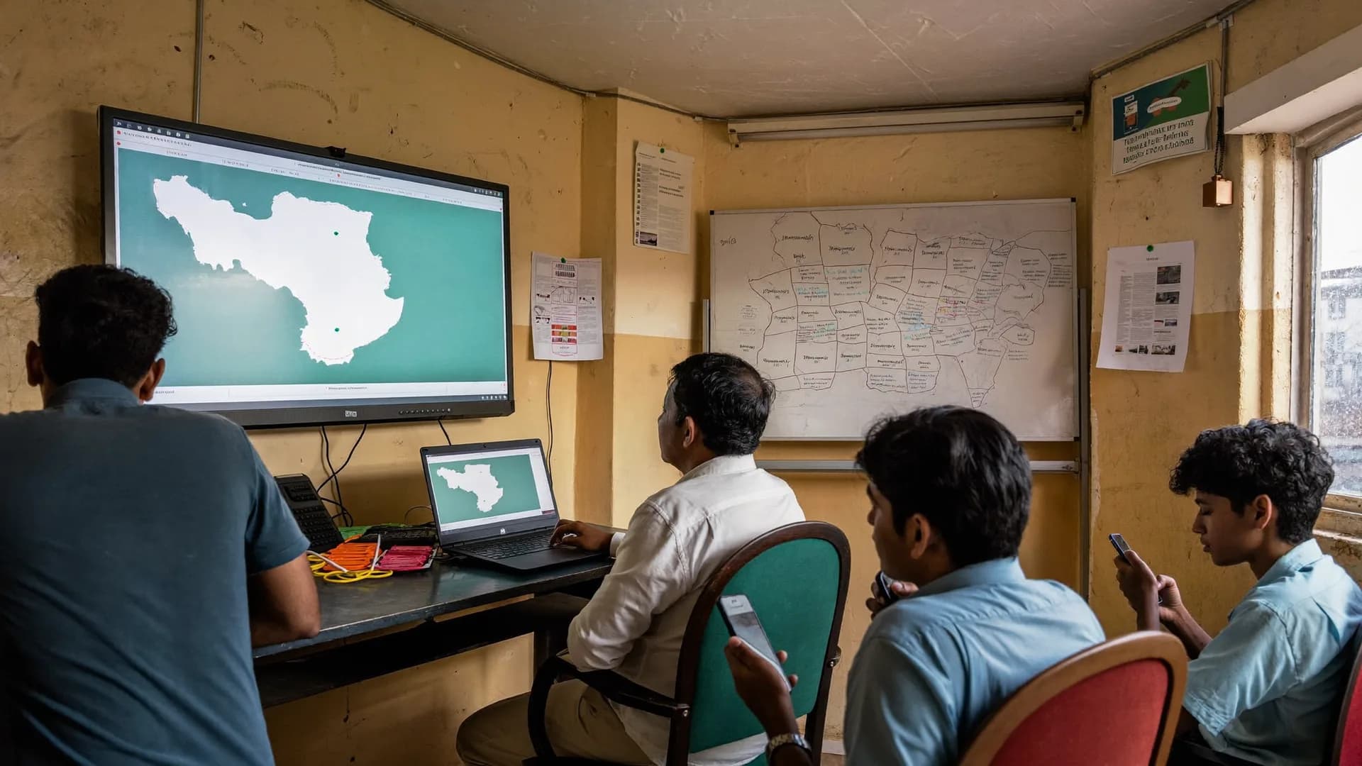
Printable AC and PC boundary maps
Village and ward boundary maps
Booth location maps
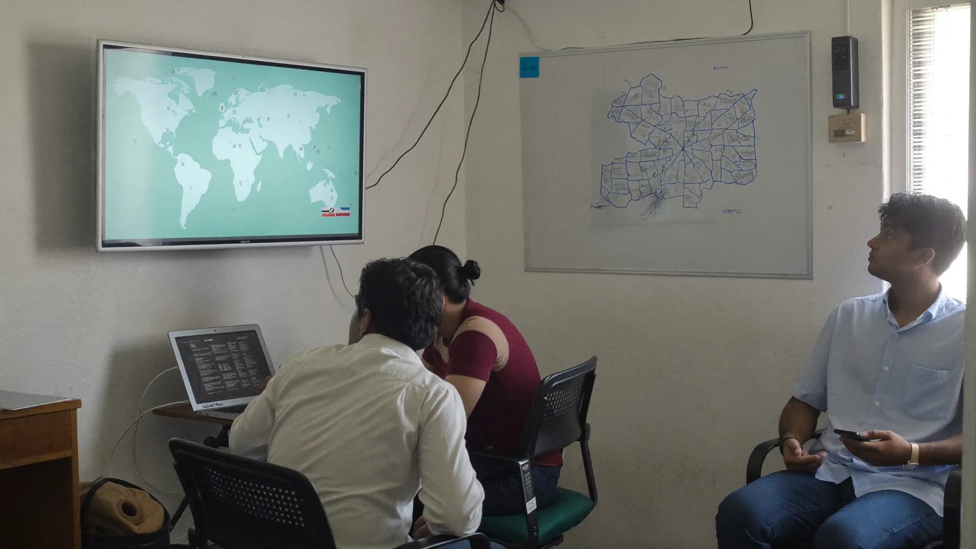
Interactive web maps
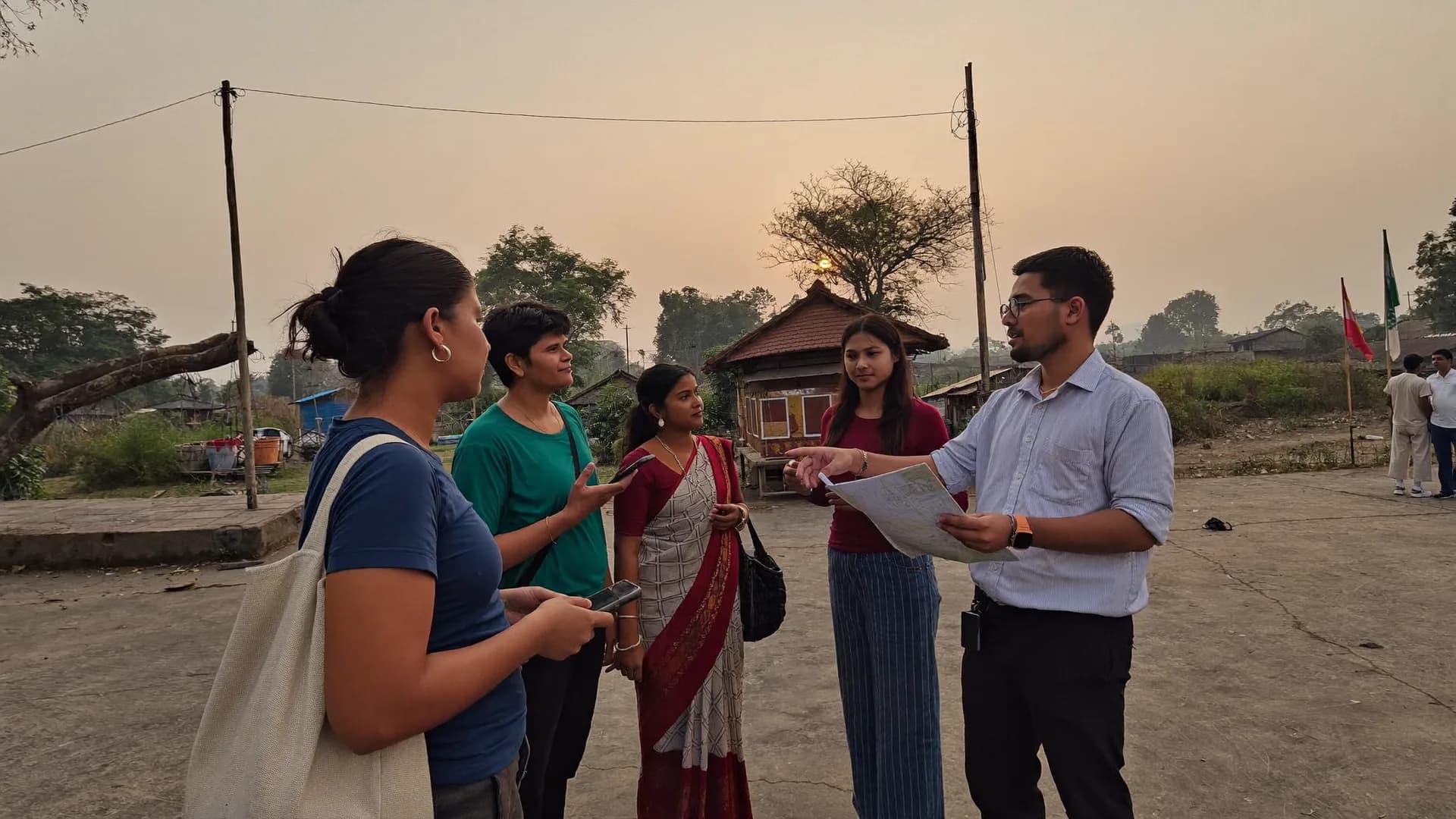
Raw GeoJSON and KML
Our view
We can prepare maps for any assembly or parliamentary constituency where boundary and polling station information is available, from a single Vidhan Sabha seat to every segment of a Lok Sabha constituency. Urban seats usually need ward layers; rural seats need village layers and block boundaries.
For a first look at a seat before ordering, open our constituency map explorer, which shows constituency outlines and published election data on a live map.
- Any assembly or Lok Sabha seat
- Rural village and urban ward layers
- Hindi and state-language labels
- Explorer for a first look
India does not publish one official, free, ready-to-use digital layer of every constituency boundary at village detail. The legal description of each assembly constituency is the Delimitation Order, which lists the tehsils, villages, wards and towns it contains. Digital boundaries for villages and wards come from public datasets such as Census and Local Government Directory codes and community-maintained boundary files, which differ in age and precision.
So our boundaries are approximate unless you supply official ones. We build each constituency from the units named in the Delimitation Order, check it against the polling station list, and print a source note on every map. If your district administration or a municipal body gives you official ward or village boundaries, we use those instead and say so.
Booth locations
Polling station buildings are placed from their name and address on the polling station list and checked on satellite imagery. Where a location cannot be confirmed, the booth is marked as approximate rather than dropped. If your office pins booths in the Bharat Survey booth master, those positions can replace ours in the next map version.
Seats redrawn after 2008
Most constituencies follow the 2008 delimitation. Some states have been redrawn since, including Jammu and Kashmir and Assam, so maps and past results there need a clear note on which boundary set they use.
Printed on every map
- Boundary source and date
- Polling station list used
- Approximate areas marked
- Scale bar and north arrow
- Not an official boundary notice
| Format | Best for | What to expect |
|---|---|---|
| A3 print | Desk reference for a candidate or booth in-charge | Boundary, blocks, towns and main roads; limited village labels |
| A1 print | War room wall and planning meetings | Village or ward boundaries with names and booth numbers |
| Flex banner | Office display or large review meetings | Simplified layers that read from a distance |
| Interactive web map | Teams working from phones and laptops | Switchable result, booth and coverage layers behind a login |
| GeoJSON / KML | Analysts and agencies with their own GIS | Raw layers with a data dictionary and source note |
Sizes, languages and layers are agreed on the scoping call. Turnaround and price are on quotation.
Scoping call
Boundary build
Draft review
Final files
Past results by village
Form 20 polling-station results are rolled up to villages or wards and shaded by leading party, margin or swing, so patterns that hide in a spreadsheet become obvious on screen.
- Leader, margin and swing layers
- Built from Form 20
- One layer per election
Booth layers from the app
If you use the Bharat Survey booth management app, booth ratings, report compliance and survey coverage can be added as layers, so the map shows where your organisation is strong as well as where votes came from.
- Booth ratings
- Silent booths
- Survey coverage
Not the right fit if
- You need a legally certified boundary for a court or official filing
- You need survey-grade land measurement
- You want maps of individual voters' homes
- You need drone or aerial imagery we do not hold
A good fit if
- Campaign planning on the wall and on phones
- Seeing past results village by village
- Placing booths and booth clusters
- Handing clean layers to your own analysts
Constituency map explorer
A live map of constituency outlines and election data.
Learn moreAssembly constituencies
Assembly seats and their published election results.
Learn moreParliamentary constituencies
Lok Sabha seats, segments and results.
Learn moreBooth-wise result analysis
Form 20 results matched across elections.
Learn moreVoter list data
Booth and village totals from the published roll.
Learn moreStraight answers to the questions people ask most about this topic.
Are your constituency boundaries official?
No, unless you supply official boundaries. We assemble each constituency from the units listed in the Delimitation Order using public boundary datasets, and check it against the polling station list. The maps are accurate enough for campaign planning, and every map carries a source note stating that it is not an official boundary notice.
Can you map polling booth locations?
Yes. Polling stations are placed from the building name and address on the polling station list and checked against satellite imagery. Booths we cannot confirm are marked approximate. If your office pins booths in the Bharat Survey booth master, those positions can be used in later map versions.
What sizes can election maps be printed in?
A3 for desk use, A1 for war room walls, and flex banner sizes for offices and meetings. We deliver print-ready PDFs sized for your printer; if you want us to arrange printing and delivery, include that on the scoping call.
Who can see the interactive web map?
Only people you give access to. The web map sits behind a login for your team, and each client's layers are kept separate from every other account. It is not published on the open internet.
Can I get the map data as GeoJSON or KML?
Yes. Boundary and booth layers can be delivered as GeoJSON or KML with a short data dictionary and the source note, so your analysts can open them in QGIS, Google Earth or other GIS tools.
Open reference pages built from ECI, Census 2011, LGD and MCA records, with the source credited on every page.
- Assembly election resultsEvery vidhan sabha seat, from ECI statistical reports
- Lok Sabha election resultsAll 543 parliamentary seats, 2024 and earlier
- State election profilesSeats, parties and turnout for each state
- Constituency mapsAssembly and Lok Sabha boundaries on one map
- Bye-election resultsBy-polls held since the last general elections
- Urban local bodiesMunicipal corporations, councils and wards (LGD)
- By-election survey agencyBy-election survey
- Lok Sabha election survey agencyLok Sabha election survey
- Nagar Nigam election survey agencyNagar Nigam election survey
- Panchayat election survey agencyPanchayat election survey
- Vidhan Parishad election survey agencyVidhan Parishad election survey
- Vidhan Sabha election survey agencyVidhan Sabha election survey
Tell us the seat, the map types and the sizes you need. We will confirm the boundary sources, show a draft and send a quotation.