
Farm and crop studies
Area sown, varieties, inputs, irrigation, yield recall and sale price per plot, with plots geo-tagged so the same field can be revisited next season.
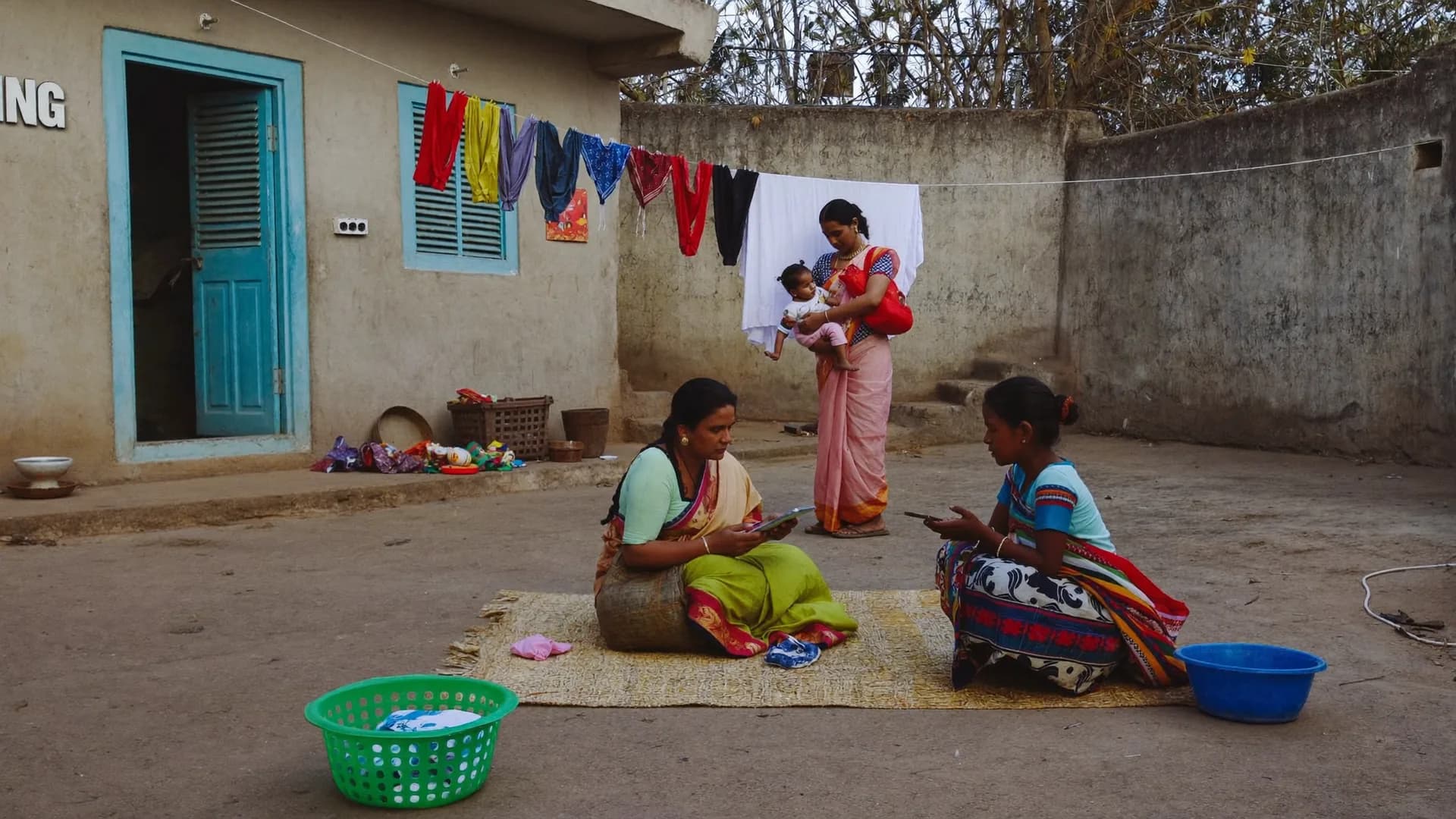
Farmers, plots, villages and panchayats, recorded where they are
Bharat Survey is a survey agency for rural and agricultural development NGOs, farmer producer organisation promoters, agri-CSR foundations and panchayat-level programmes. We run farmer and plot surveys, crop and input studies, village resource mapping and participatory appraisals, and supply an offline, GPS-verified app for your own field staff. Work is planned around the crop calendar, because a farmer in the middle of harvest will not sit for an interview.
Rural fieldwork has two constraints city research does not: the season decides who is home, and the network decides whether the form syncs today or next week.
The same Android app our enumerators use is available to your programme team, with forms built for rural work.
Register farmers once, attach each plot with a GPS point taken at the field, and record crop, inputs and outcomes by season. Next season's visit opens the same farmer and plots.
Ready structures for crop cutting-style yield samples, input use, pest incidence and irrigation, which your agronomist can edit without a developer.
Walk the village and record households, wells, ponds, schools, anganwadis and common land as GPS points, then link household surveys to those points.
The Ministry of Panchayati Raj asks gram panchayats to prepare a Gram Panchayat Development Plan through a participatory process. Good plans need village data.
Agricultural outcomes swing with rainfall, so a single before-and-after comparison can credit a programme for a good monsoon. We recommend comparison villages in the same agro-climatic zone, identical seasons at baseline and endline, and plot-level data rather than only household recall.
When a department or funder needs a third party evaluation agency for agricultural crop yield and farmer distress evaluation, we design yield estimation, input cost and distress modules such as debt, distress sales and migration, and report them against comparison areas. For programmes that only need fieldwork, we act as a data collection agency for agricultural crop yield and farmer distress evaluation and hand over documented data.
Official crop yield estimates under the crop insurance scheme come from government crop cutting experiments. Our yield work supports programme evaluation and does not replace those official estimates or insurance assessments.
PRA gives villagers the pen. Surveys then test what the discussions suggested.
Trained facilitators run resource maps, seasonal calendars and wealth ranking with village groups, separately with women where needed.
Facilitators walk the village with residents, noting land use, water and problem spots, with GPS points for each.
Maps and charts drawn on the ground are photographed with consent and transcribed into structured records.
PRA findings shape survey questions, and survey numbers test what the group discussions suggested.
| Your need | Our role | You receive |
|---|---|---|
| Independent judgement on results | Third party evaluator | Evaluation report with methods and limits |
| Fieldwork to your protocol | Data collection agency | Clean data, tools and field documentation |
| Your staff collect data | Software provider | Offline app, dashboards and training |
| Community-led planning inputs | PRA facilitator | Maps, calendars and discussion notes |
Straight answers to the questions people ask most about this topic.
PRA works best with simple, visual methods: resource maps, seasonal calendars, wealth ranking and transect walks. Our app helps record and geo-tag their outputs and link them to household data, but the core tool remains a skilled facilitator and an honest village discussion.
Peak sowing and harvest weeks, major festivals and local market days usually cut response rates. We map these for each district before scheduling, and plan around monsoon road closures in hilly or flood-prone blocks.
Yes. Each plot is stored with a GPS point and linked to the farmer's ID, so the next round opens the same record and the enumerator can find the field again.
For programme evaluation we use farmer recall and, where the budget allows, sample harvest measurements on selected plots. These are not official yield estimates and are reported with their method and limits.
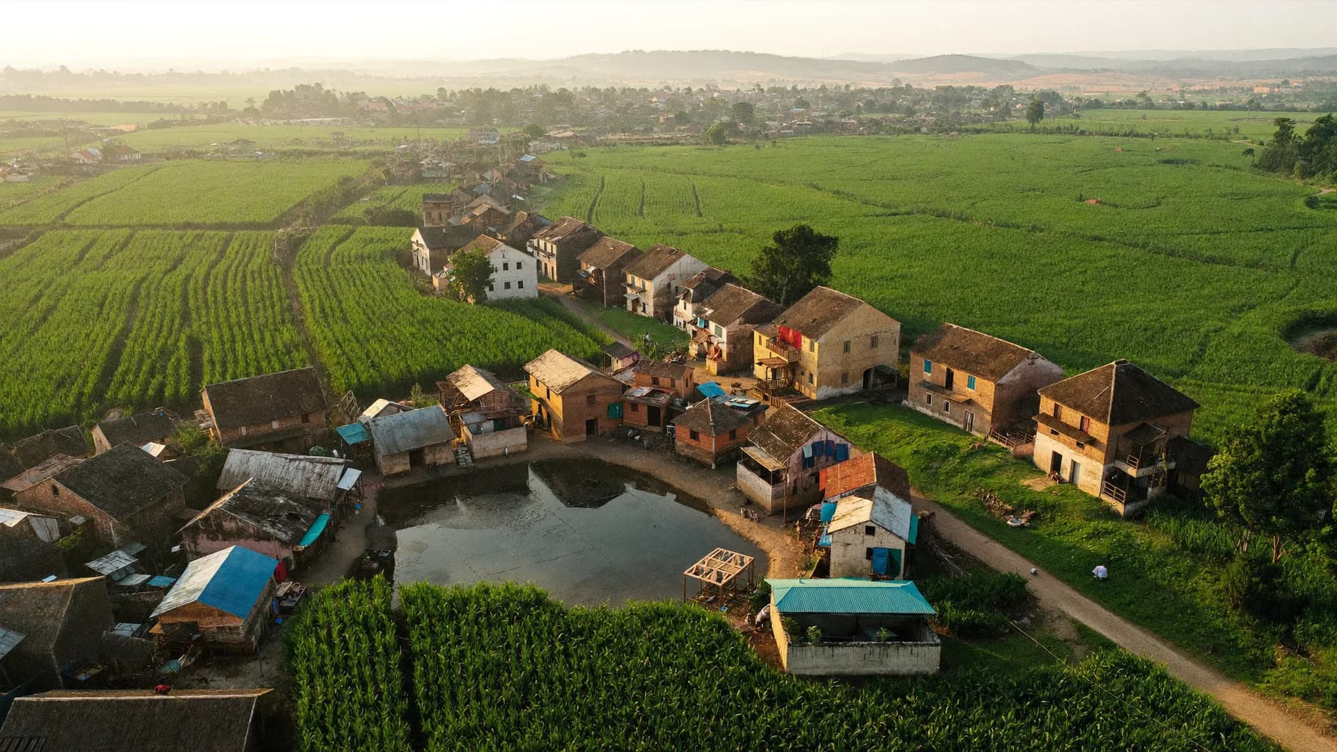
Share your blocks, crops and timeline. We will reply with a field calendar and study design.